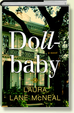
- THE STORY BEHIND THE BOOK
- BOOK GROUP GUIDE
- QUEENIE'S RECIPES
- INTERACTIVE MAP OF NEW ORLEANS 1964
This map depicts how the city looked before the extensive interstate systems were established and when crossing the river often meant taking a ferry. Several of the sites pictured on the map are fictitious, and therefore, the photos attached are facsimiles. (Click on the dots to see the images.) These include Fannie's Victorian house, Our Lady of the Celestial Realm Catholic School for Girls, Queenie's double shotgun house, the Ebony Lounge, the Starlight Jazz Club, the True Love Baptist Church, and St. Vincent's Hospital. The Butterfly concession stand was hit by a barge one foggy morning in the 1980's and was torn down, but the park on the river behind Audubon Zoo is still referred to as 'The Fly' by locals. Madame Doussan's, which opened in 1843 on Chartres Street, is now Bourbon French Parfums on Royal.

AVAILABLE JULY, 2014
INDIEBOUND | AMAZON
BARNES & NOBLE | POWELLS
BOOKSAMILLION | SIBA STORES
